
GIS Mapping Services
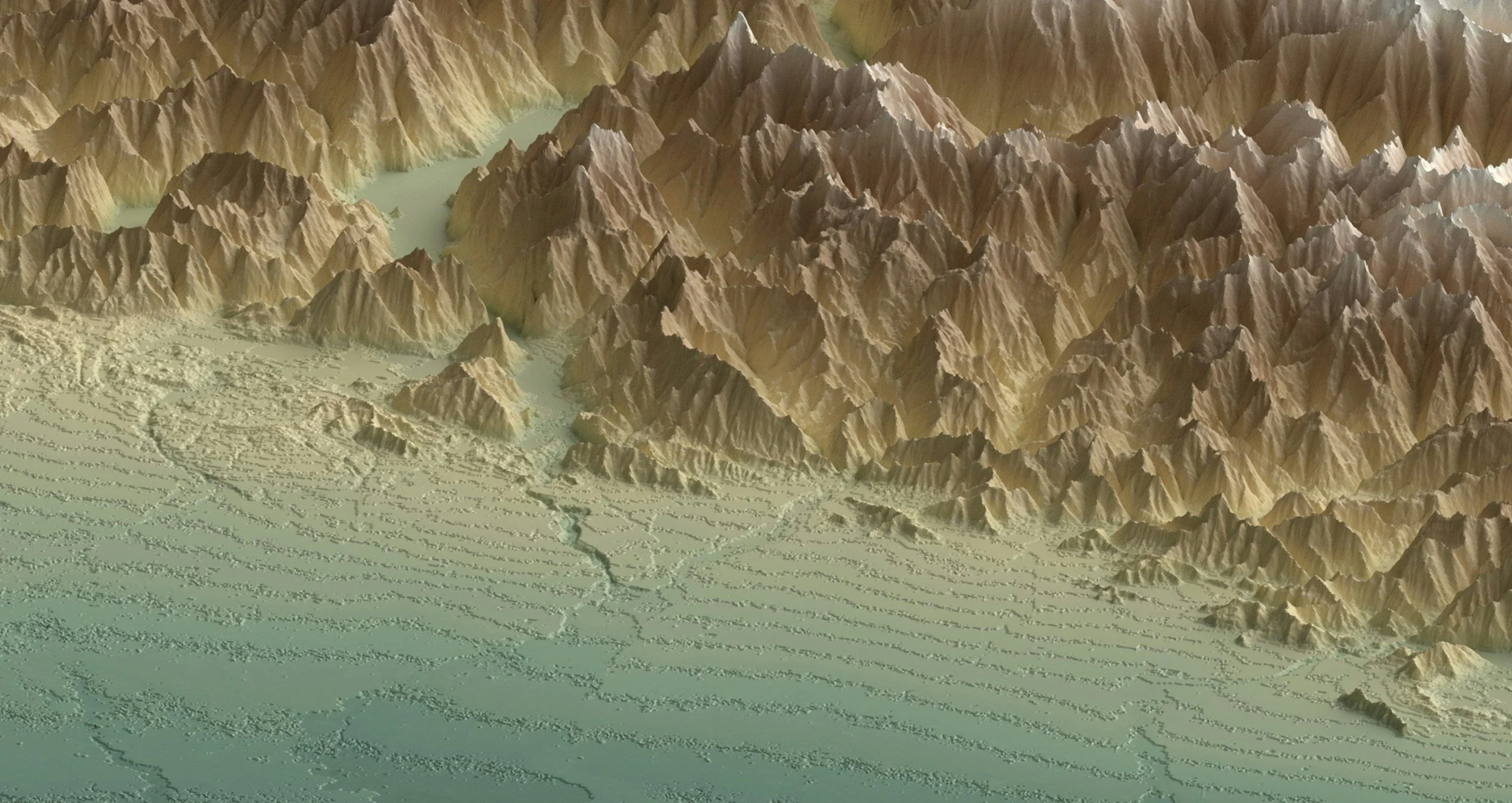
Clear spatial communication is critical for real estate transactions and environmental reports. Taizo Tech provides custom GIS mapping solutions tailored to your project requirements.
Mapping & Data Deliverables:
Site Vicinity & Layout Maps: Clean, print-ready maps showing parcel boundaries, access roads, and regional context.
Historical Aerial & Topo Overlays: Geographic alignments for historical site evaluations.
Spatial File Conversion: Formatting and processing spatial data across formats (KML/KMZ, CAD, Shapefile, GeoTIFF).
Buffer & Boundary Analysis: Parcel buffer calculations and land-use categorization overlay graphics.