
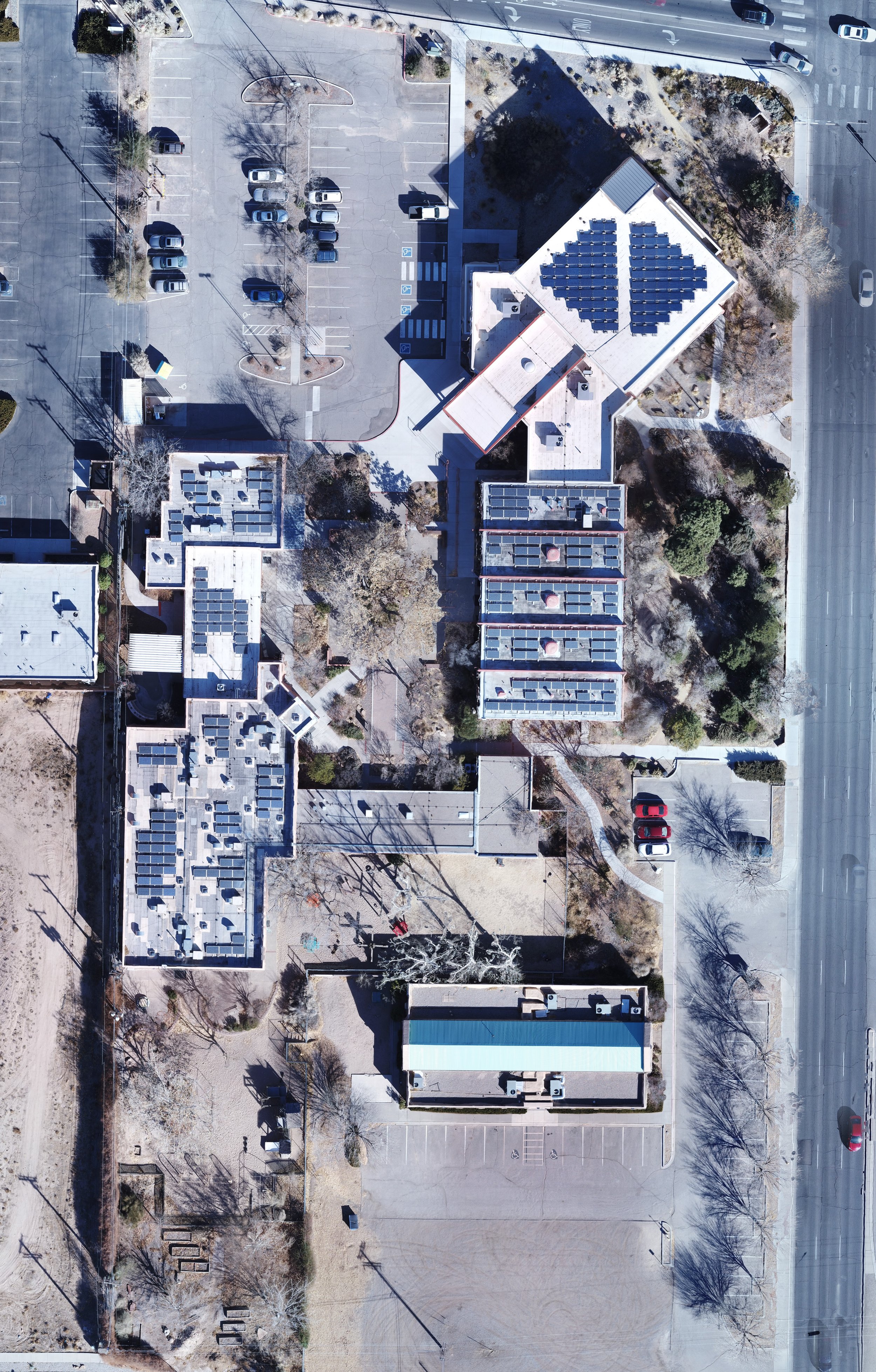
Commercial Real Estate Drone Photography & Visual Orthomosaics
Taizo Tech provides FAA Part 107 licensed aerial drone imagery designed specifically for commercial real estate brokers, property owners, land developers, and environmental professionals across New Mexico.
Our Aerial Services:
Commercial Property Photography: High-resolution aerial stills showcasing commercial buildings, industrial centers, retail locations, and vacant land.
Non-Survey Grade Orthomosaic Mapping: Stitched high-resolution aerial top-down imagery. Ideal for parcel boundary visualization, land use evaluation, conceptual layout planning, and site marketing packages. Sub-foot accuracy on average.
Property Flyover Video: Smooth HD/4K aerial video loops for property listings and client presentations.
FAA Part 107 Compliant: Full airspace authorization coordination (LAANC).